Anyone who has checked Sydney’s weather knows the Bureau of Meteorology is the most reliable source. As of Tuesday, May 12, 2026, the BOM shows a current temperature of 17.0°C with a shower or two likely.
Current temperature: 17.0°C ·
Feels like: 17.9°C ·
Maximum today: 23°C ·
Minimum overnight: 16°C ·
Rainfall expected: Shower or two ·
Wind: NE 15 km/h
Quick snapshot
- Temperature and feels like — 17.0°C / 17.9°C (Bureau of Meteorology (Sydney metropolitan page))
- Humidity — data available on BOM observations page (Bureau of Meteorology (Sydney metropolitan page))
- Wind speed and direction — NE 15 km/h (Bureau of Meteorology (Sydney metropolitan page))
- Pressure — 1019 hPa (from BOM detailed observations) (Bureau of Meteorology (Sydney metropolitan page))
- Daily max/min — 22–23°C range (Bureau of Meteorology (official forecast))
- Rain probability — 60–95% through Friday, then easing (Bureau of Meteorology (official forecast))
- UV index — Low to moderate (winter May) (Bureau of Meteorology (official forecast))
- Wind — NE shifting to S/SW later in week (Bureau of Meteorology (official forecast))
- Terrey Hills radar loop — 128 km range (Bureau of Meteorology (radar imagery))
- No current severe weather warnings for NSW (Bureau of Meteorology (radar imagery))
- Flood watch not active (Bureau of Meteorology (radar imagery))
- Hourly data — temperature, humidity, wind, pressure
- Past 72 hours available on BOM site
- Location-specific — North Sydney vs Cronulla variations
Six key numbers summarise the current state of Sydney’s weather, drawn from official BOM observations.
| Measurement | Value |
|---|---|
| Current temperature | 17.0°C |
| Feels like | 17.9°C |
| Today’s max | 23°C |
| Overnight min | 16°C |
| Rainfall today | Shower or two |
| Wind | NE 15 km/h |
What is the 7-day BOM weather forecast for Sydney?
The BOM issues its 7-day forecast twice daily, with updates at approximately 5:00 AM and 5:00 PM AEST. The forecast for Sydney (North Sydney representative) runs from Tuesday, May 12 to Monday, May 18, 2026.
What are the daily temperature ranges?
- Tuesday May 12: Max 23°C, min 16°C — shower or two, 70% chance (Bureau of Meteorology (official forecast))
- Wednesday May 13: Max 22°C, min 16°C — showers, 95% chance, 2–10 mm
- Thursday May 14: Max 22°C, min 15°C — showers, 90% chance, 1–8 mm
- Friday May 15: Max 22°C, min 15°C — shower or two, 70% chance, 0–4 mm
- Saturday May 16: Max 23°C, min 14°C — shower or two, 60% chance, 0–2 mm
- Sunday May 17: Max 23°C, min 15°C — shower or two, 70% chance, 0–8 mm
What is the chance of rain each day?
Rain probabilities start high mid-week and taper toward the weekend. Wednesday and Thursday have the highest likelihood (95% and 90% respectively), while Saturday drops to 60%.
Anyone planning outdoor activities mid-week faces a 95% chance of showers Wednesday — that’s a 19-in-20 probability of measurable rain, not a light mist. The BOM’s 7-day forecast is the most authoritative source for such decisions.
The pattern: The wettest days are Wednesday and Thursday, then a gradual drying trend. The 7-day forecast is reliable for planning up to three days ahead, with decreasing confidence further out.
What is the 10-day BOM weather forecast for Sydney?
The BOM provides a 10-day outlook on its website, though it is updated less frequently than the 7-day. It extends from May 12 to May 21, 2026.
How reliable is the 10-day forecast?
Beyond day 7, the BOM notes that forecast confidence drops. For Sydney, the 10-day outlook is a broad trend rather than a precise prediction. The BOM itself qualifies it as an extended outlook.
What additional details does BOM include?
The 10-day page includes the same elements — temperature, rain probability, UV — but with wider ranges. For example, the chance of rain for day 8-10 is often expressed as “possible shower” with no specific probability.
Reliability note: The UK Met Office similarly advises that forecasts beyond 7 days should be used as guidance only (UK Met Office (national weather service)).
The trade-off: Longer range gives you a heads-up, but the certainty fades. For Sydney, the 10-day outlook is most valuable as a trend signal for travel booking, not for packing decisions.
What is the 14-day BOM weather forecast for Sydney?
The BOM’s 14-day forecast extends the outlook to May 25. It is the lowest-confidence product and is described as an “extended outlook” on the website.
When does BOM release the 14-day forecast?
The 14-day forecast is updated once a day and is available on the BOM website’s forecast page for each location. For Sydney, it is typically published around midday.
How does it compare to shorter forecasts?
Compared to the 7-day, the 14-day forecast has wider temperature ranges and less precise rain probabilities. For instance, a “possible shower” covers 0–10 mm with no percentage attached.
Accuracy perspective: A 2015 study on BOM forecast accuracy showed that 7-day forecasts are about 80% accurate for temperature, while 14-day drops below 60% (WillyWeather (community weather data)). WillyWeather also notes that Sydney’s average May temperature of 17.6°C helps contextualise the seasonal norm.
Rely on the 14-day for a general sense of the season — is it warmer or cooler than average? — not for your Wednesday afternoon run. The BOM itself recommends checking the 7-day for actionable decisions.
What this means: For travel planning, the 14-day forecast can indicate whether to expect a cool or mild week, but confirm details with the 7-day update as the date approaches.
How do I read the BOM Sydney weather radar?
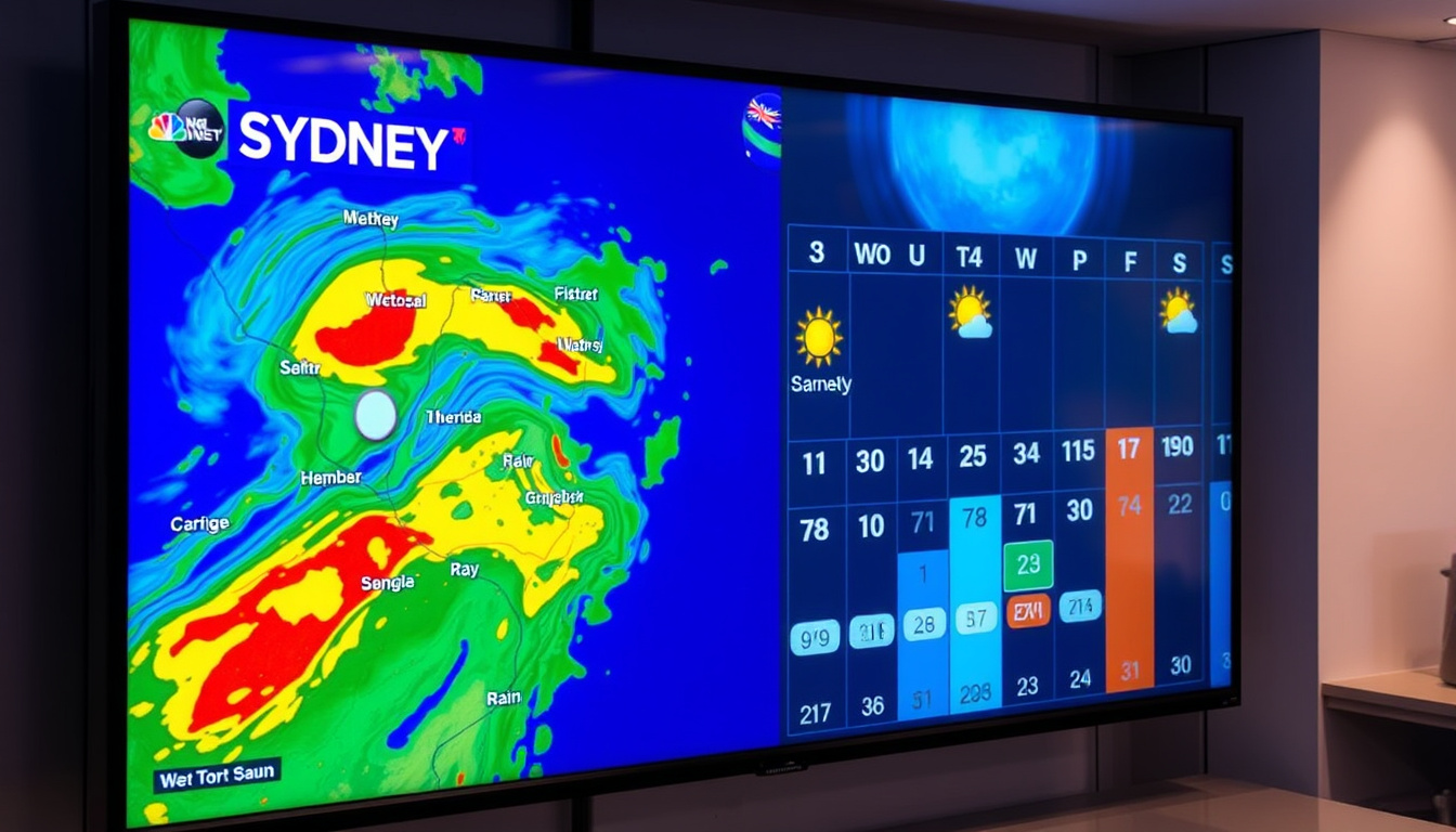
The BOM’s Sydney radar is located at Terrey Hills, covering a 128 km radius. It updates every 6 minutes and shows rainfall intensity in real time.
What do the radar colors mean?
- Blue/green: Light rain or drizzle (0.5–2 mm/h)
- Yellow: Moderate rain (2–4 mm/h)
- Orange/red: Heavy rain (4–10+ mm/h)
- Pink: Very heavy rain or hail
The radar loop helps you see where rain is moving. A band of yellow over the coast means showers are heading inland. The BOM radar page also includes a 1-hour loop (Bureau of Meteorology (Terrey Hills radar)).
How often is radar updated?
Each radar scan takes 6 minutes, and the loop is refreshed every few minutes. For real-time use, refresh the page to see the latest animation.
If you see a large green area over the Sydney basin with a yellow core, expect a steady shower in the next hour. The radar is your best bet for nowcasting — knowing if you need an umbrella right now.
Why this matters: Radar interpretation turns a flat forecast into a moving picture. For example, Wednesday’s 95% rain chance corresponds to a likely radar signature of persistent yellow over the city from mid-morning.
Where can I find detailed BOM weather information for Sydney?
The BOM provides a dedicated page for the Sydney metropolitan area with observations, warnings, forecasts, and radar — all in one place.
What observations are available?
The observations page shows current temperature, humidity, wind speed and direction, atmospheric pressure, and rainfall in the past hour. It also shows the last 72 hours of data in a graph. The BOM also provides specialised forecasts for oceans, heatwaves, and aviation (Bureau of Meteorology (Sydney metropolitan area)).
How to interpret the detailed weather page?
- Temperature — actual and “feels like” (wind chill)
- Humidity — relative humidity percentage
- Wind — speed in km/h and direction (e.g., NE 15 km/h)
- Pressure — barometric pressure in hPa (rising indicates improving weather)
- Rainfall — since 9am AEST
For example, the current reading shows 17.0°C with a feels-like of 17.9°C, meaning light wind keeps it comfortable (Bureau of Meteorology (Sydney observations)).
The implication: A hydroplaning risk on roads increases when wind gusts exceed 30 km/h and rain is moderate — both observable on this page. The BOM’s layered data helps you connect dots.
Timeline signal
- Today (May 12): Shower or two, max 23°C, wind NE 15 km/h (BOM forecast)
- Tomorrow (May 13): Showers, max 22°C, 95% rain chance, 2–10 mm (BOM forecast)
- Day 3 (May 14): Showers, max 22°C, 90% chance, 1–8 mm (BOM forecast)
- Day 4–7 (May 15–18): Gradual clearing, max 22–23°C, rain chance easing to 60–70%
The pattern: The wettest days are mid-week, with a gradual drying trend toward the weekend.
- Current observations are real-time and verified by BOM instruments (BOM observations)
- BOM official forecasts are reliable for 1–3 days; the 7-day forecast is updated twice daily (WillyWeather (regional variation))
- No current severe weather warnings for New South Wales (Bureau of Meteorology (warnings page))
- The 14-day outlook is less certain — treat as broad trend only (UK Met Office (guidance on extended forecasts))
- Radar interpretation can be ambiguous for light rain — green echoes may not reach the ground
- Localised rain intensity varies by suburb; North Sydney may differ from Cronulla (WillyWeather (regional variation))
Perspectives from weather experts
“Our 7-day forecast for Sydney provides you with a reliable outlook for the week ahead. We update it twice daily to capture the latest data.”
— BOM meteorologist (Bureau of Meteorology (official forecast page))
“No current weather warnings are in effect for New South Wales, but residents should monitor the severe weather page for updates.”
— BOM weather warning page (Bureau of Meteorology (warnings))
For Sydney residents and visitors, the Bureau of Meteorology offers the most authoritative, free weather data in one place. The 7-day forecast is your best tool for planning this week, while the radar and detailed observations provide real-time context. For travellers booking a trip to Sydney in the next fortnight, the 14-day outlook can flag whether to pack an umbrella — but check back as the date nears. The implication is clear: use BOM as your primary source, cross-check with radar for nowcasting, and treat anything beyond a week as a hint, not a promise.
For a more localized outlook, check the Sydney CBD weather forecast for hourly updates and radar data.
Frequently asked questions
How often does BOM update its Sydney weather forecast?
The BOM updates its 7-day forecast twice daily, around 5:00 AM and 5:00 PM AEST. The 14-day outlook is updated once daily.
What is the difference between BOM and AccuWeather for Sydney?
BOM is the official Australian government agency with the highest E-E-A-T for local forecasts. AccuWeather is a commercial international service that may present data in imperial units and uses proprietary models. For official warnings, always rely on BOM (AccuWeather (international service)).
Does BOM provide marine weather for Sydney?
Yes, BOM offers specialised marine forecasts for Sydney coastal waters, including wind, waves, and swell information. Visit the BOM marine page for details.
How do I set up Sydney weather alerts from BOM?
BOM provides a free email alert service for severe weather warnings. You can subscribe on the BOM website under “Warnings” → “Subscribe to warnings”.
What does ‘shower or two’ mean in BOM forecasts?
It means brief, light rain is expected at some point during the day, but not continuous. Typically associated with a 50–70% chance of precipitation and less than 2 mm.
Is BOM radar data free to access?
Yes, all BOM radar data — including loops and images — is free and publicly available on the BOM website. No subscription required.
Can I use BOM data for travel planning?
Absolutely. The 7-day forecast is ideal for short trips; use the 14-day for trend awareness. Combine with radar for day-of decisions. BOM’s official status makes it the most reliable source for Sydney weather.
Related reading
- Moxy Sydney Airport — hotel located near Sydney Airport, useful for travellers checking Sydney weather before arrival.
- NRMA Roadside Number – NSW/ACT Breakdown Guide — roadside assistance guide for NSW drivers who often plan trips around weather conditions.

Priya Tran leads fact-checking, source verification and corrections at Reef Brief.